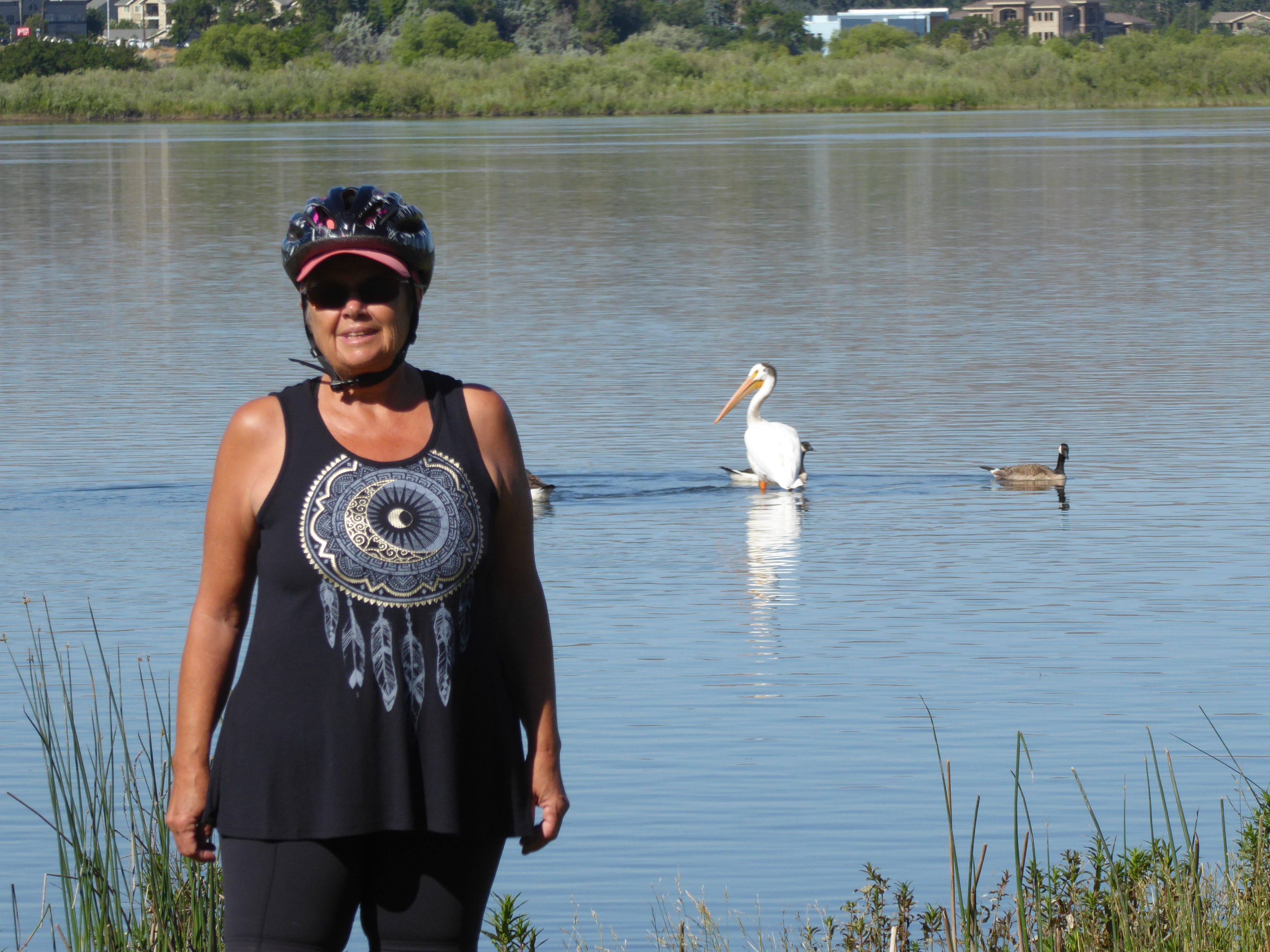
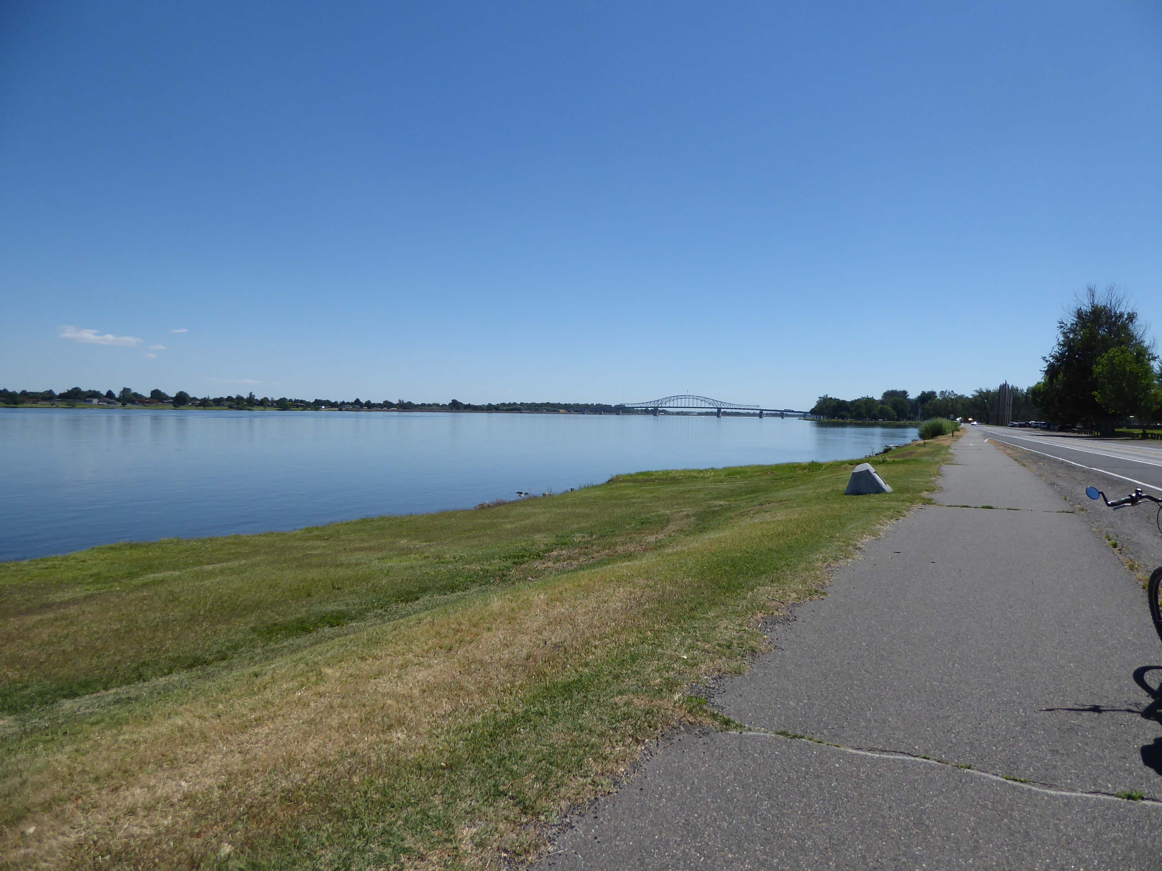
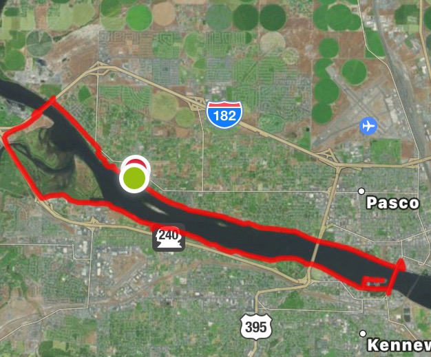
It has been pretty hot here in the Pasco area. We have been wanting to do the Sacajawea Heritage Trail (SHT lol) since we first came to this area on March 26th to take possession of our new Arctic Fox FW. However, weather (too cold and windy during our first visit and too hot now, end of June), and “TO DO LISTS” kept us from exploring the trail. Finally the other day, we got up early enough to escape the mid-day heat, loaded the bicycles into the truck, and drove to Chiawana Park, Pasco, on the north side of the Columbia River. We headed west, the sun at our backs.


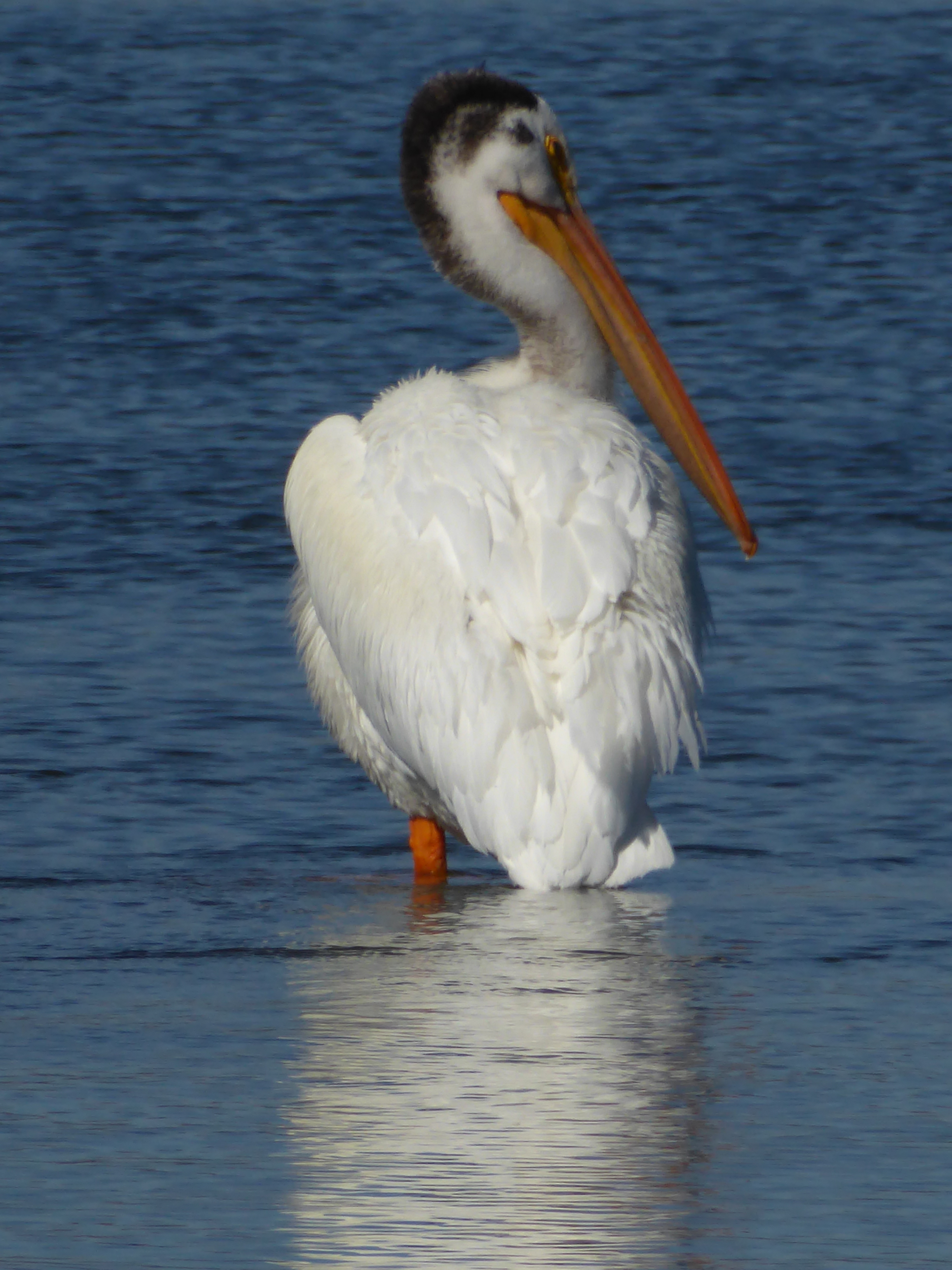
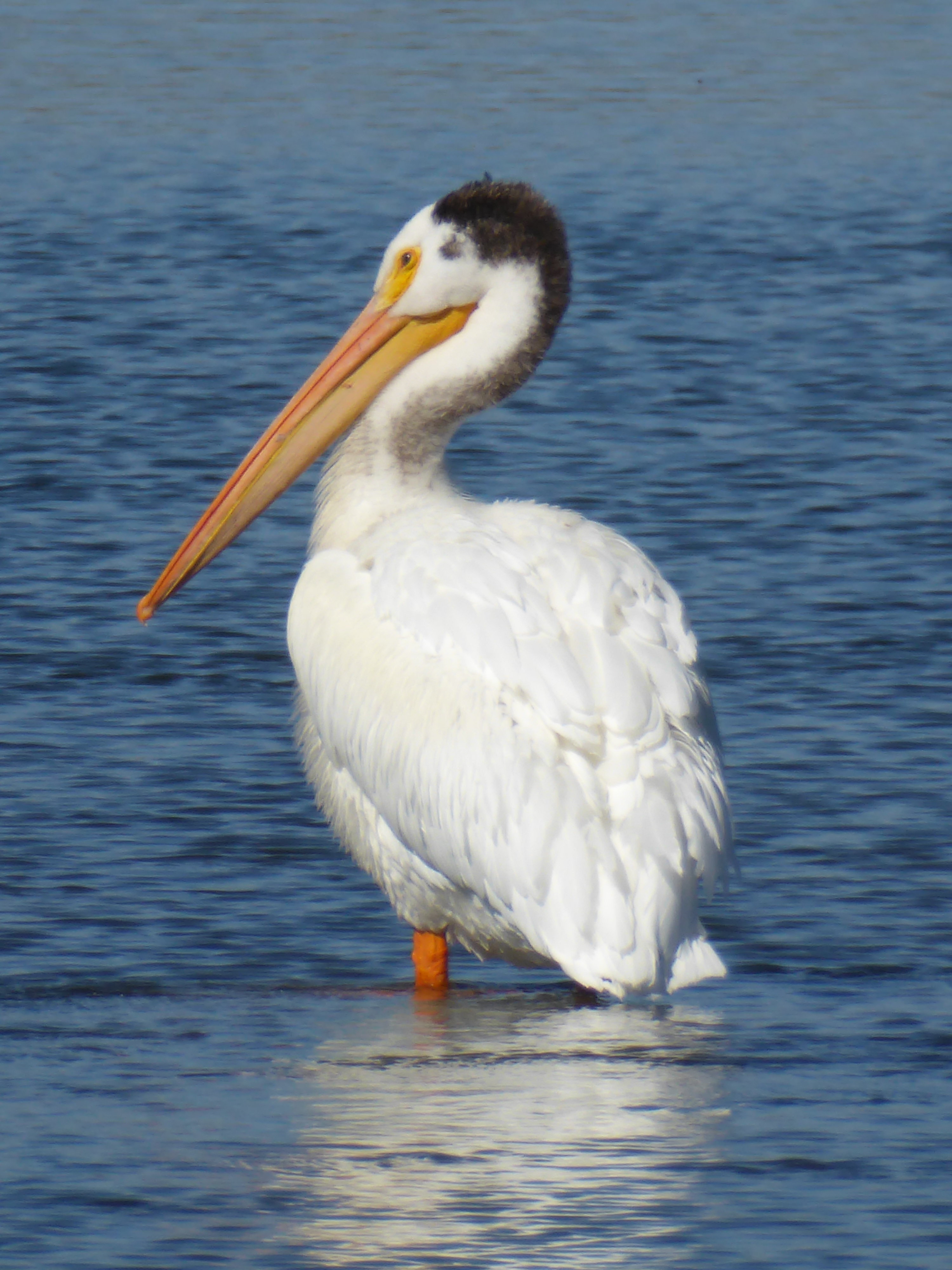
The trail is 19 miles. No sooner had we started than we spotted a pelican, standing on a rock in the river, close to shore. We had to stop and take pics. In the process we met an elderly gentleman (a 30 year resident of the area) who said that 10 years ago there were no pelicans here. It’s just in the past 10 years or so that they have moved into the area. They are such ungainly creatures but so powerful and graceful in flight; serene-looking as they float in groups down the river.
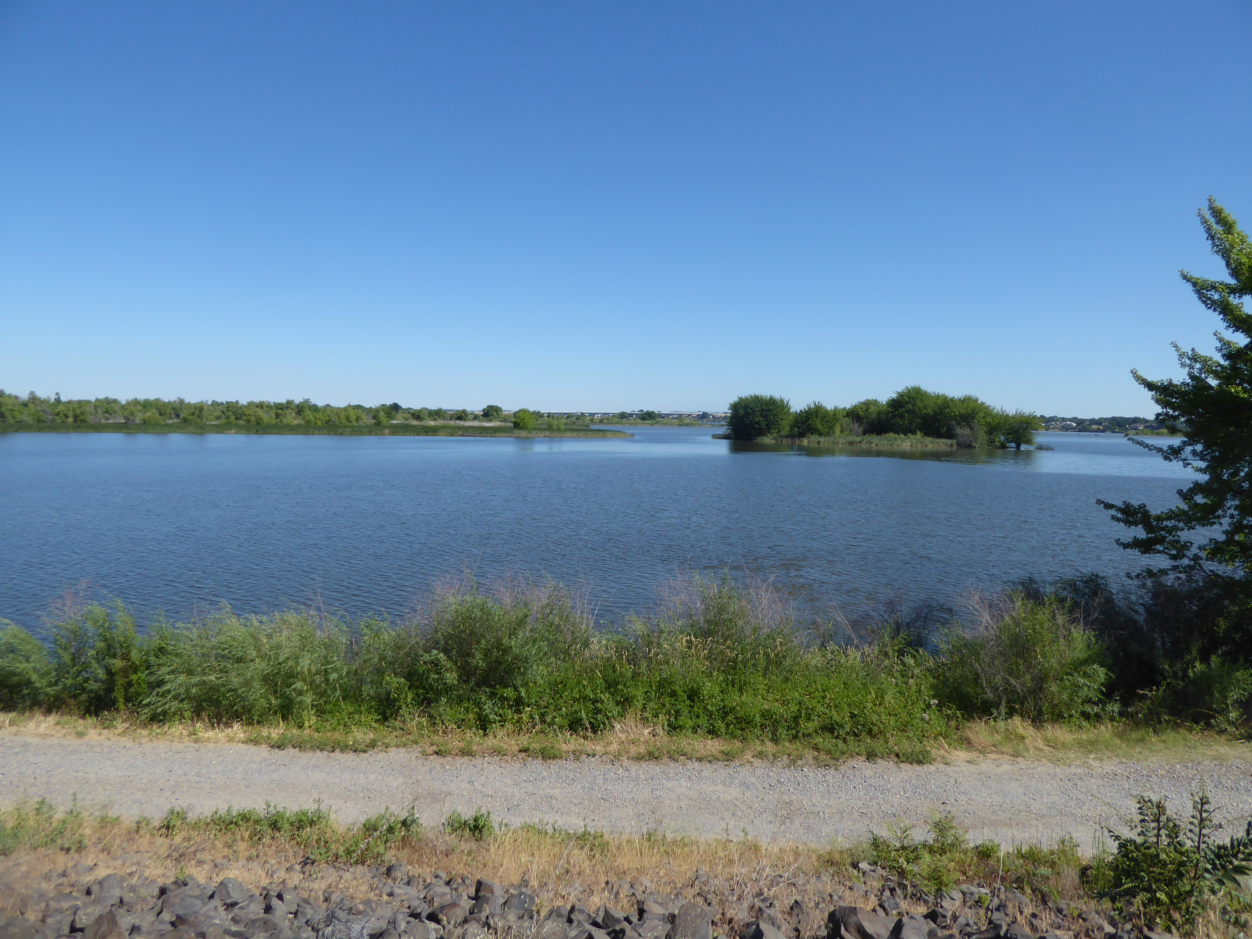
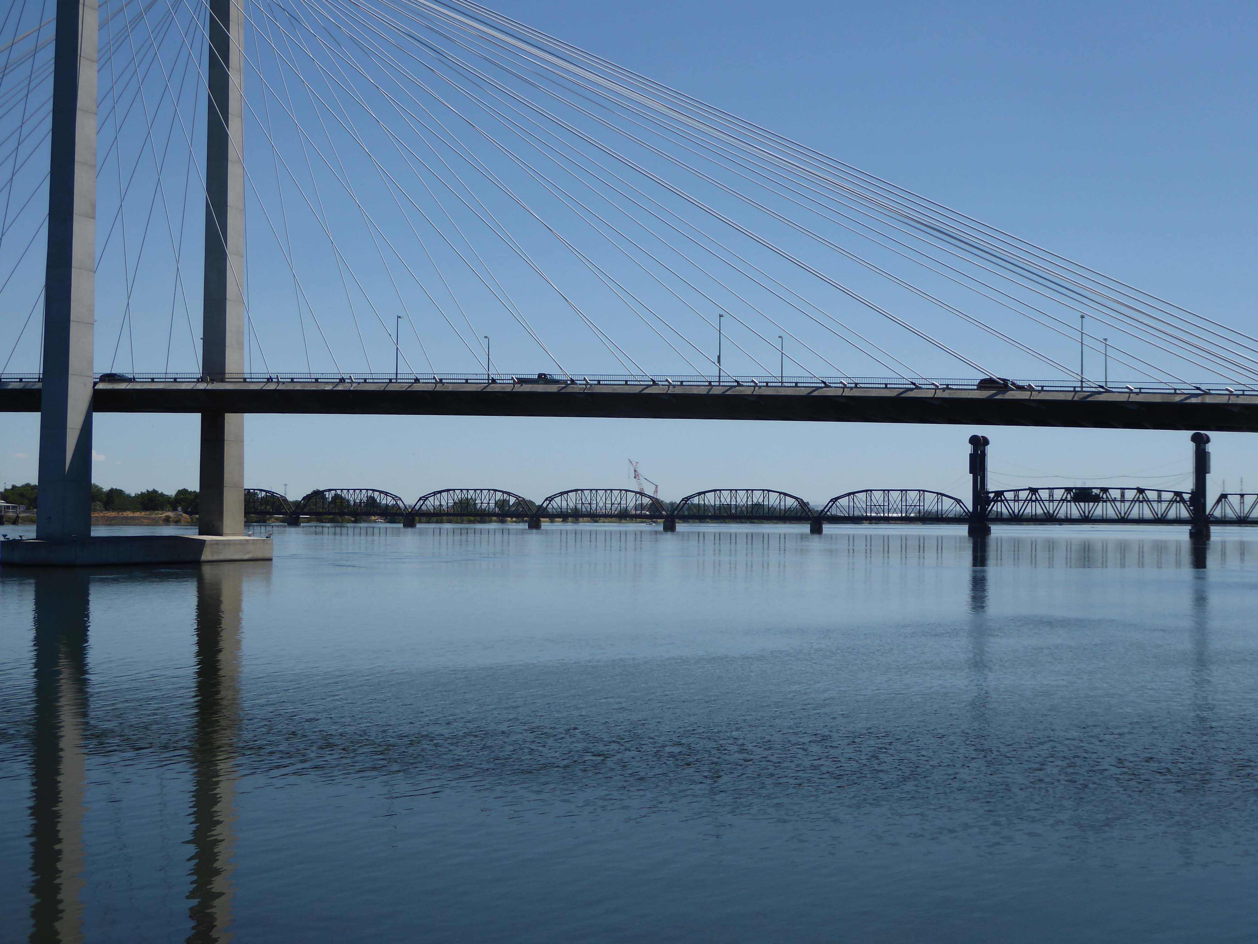
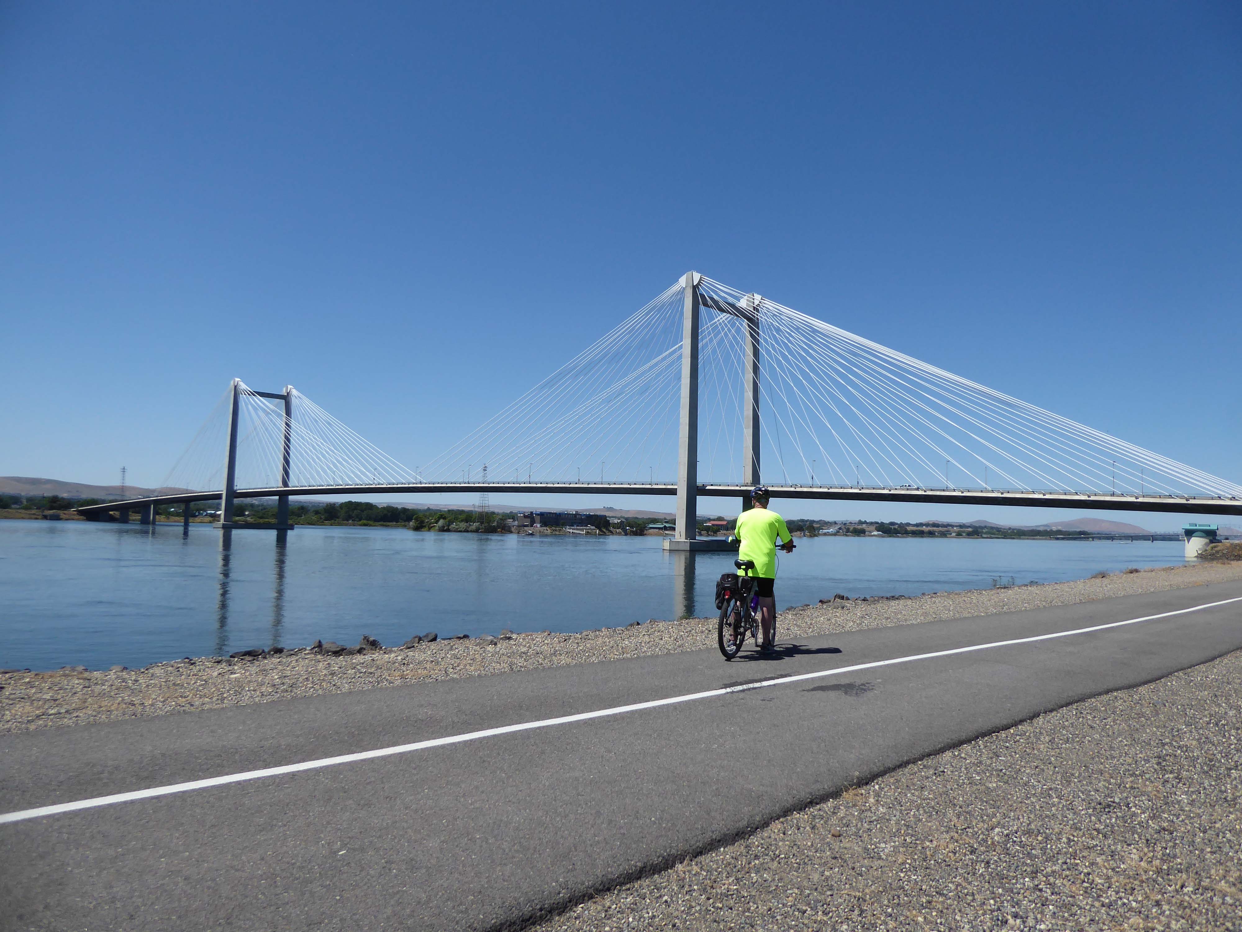
We continued on, heading west, along the river. On this side of the river, the trail often stayed beside the river offering spectacular views but in places turned inland a bit to pass behind gated mansions perched riverside. We crossed the river over the I 182 bridge and continued by the river in an easterly direction, the sun now on our faces.
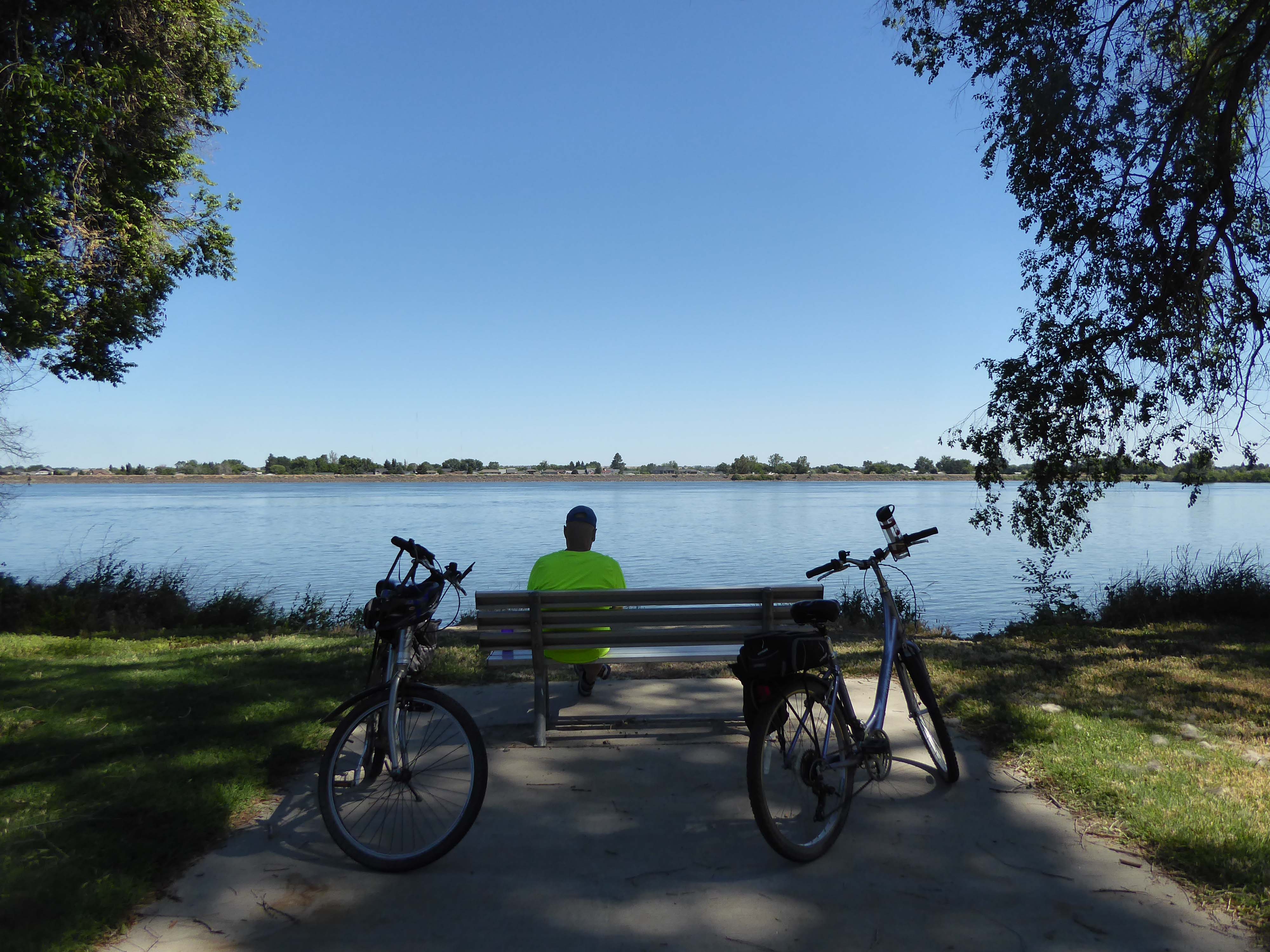
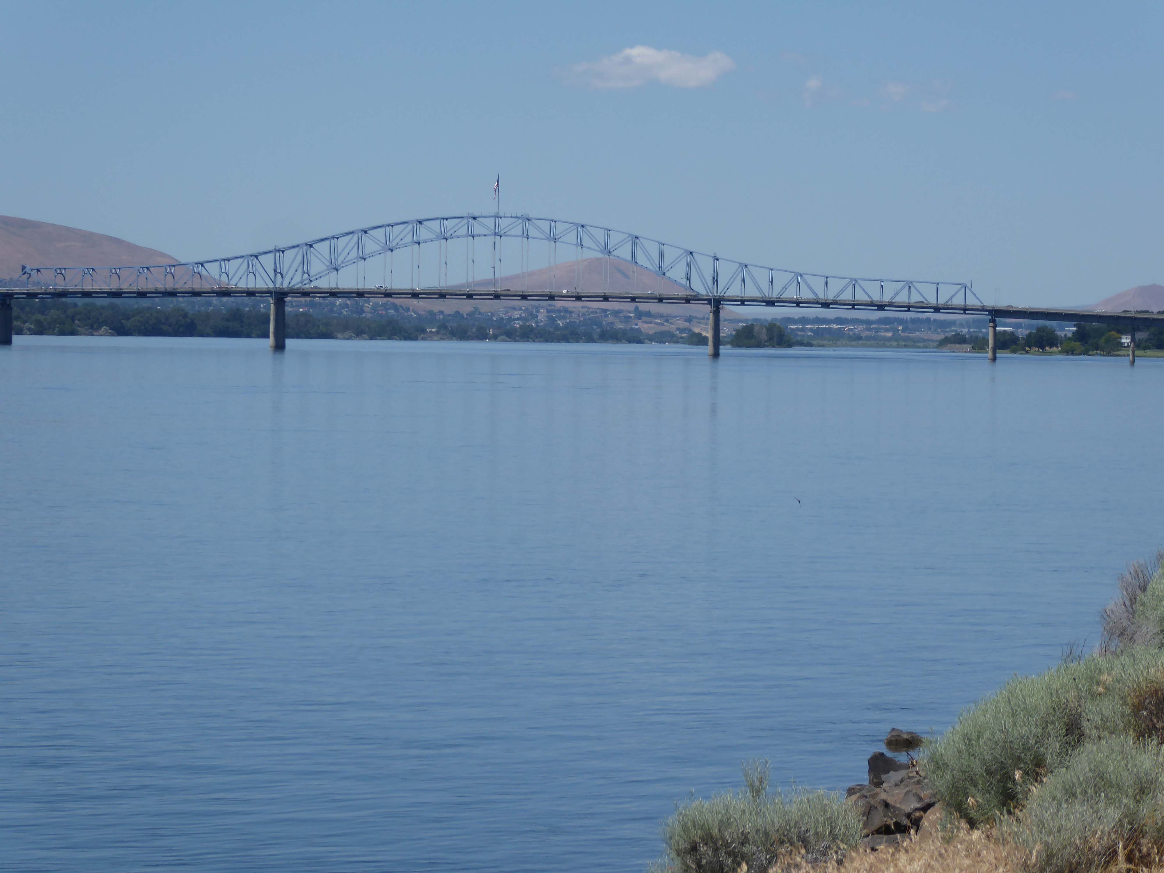
On this side, we stopped often to take pics or just to admire the scenes.


This is the route we took:
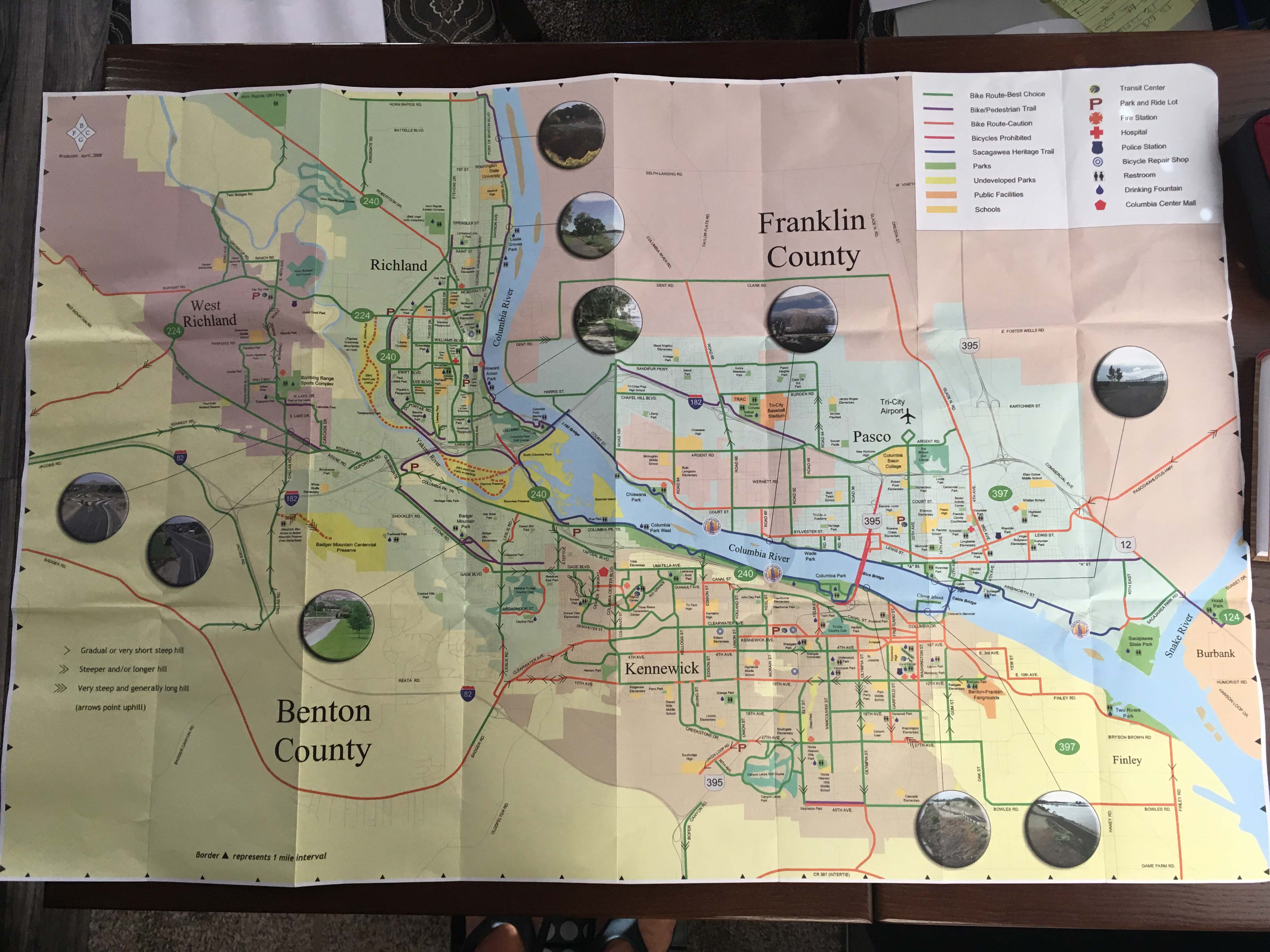
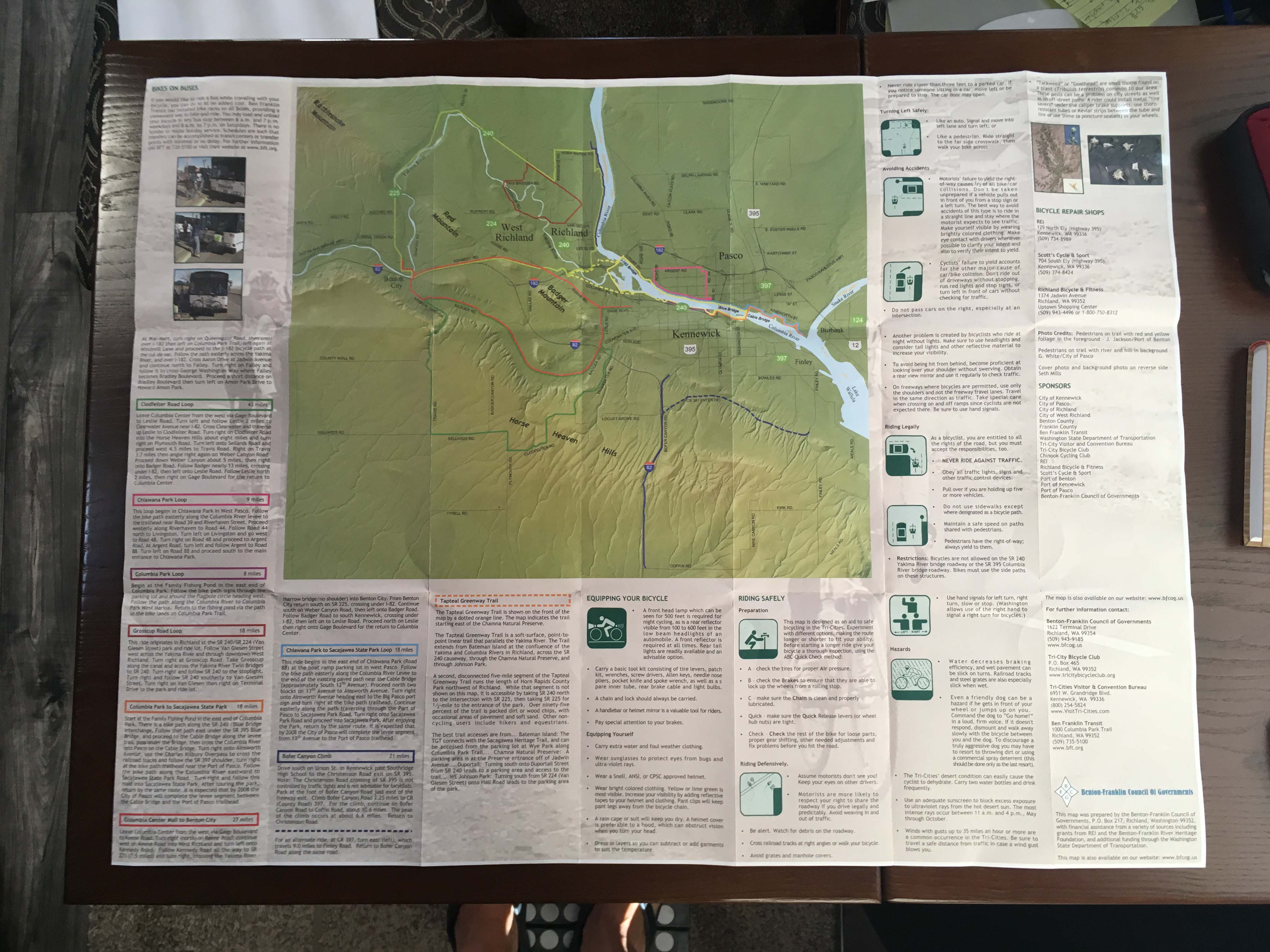
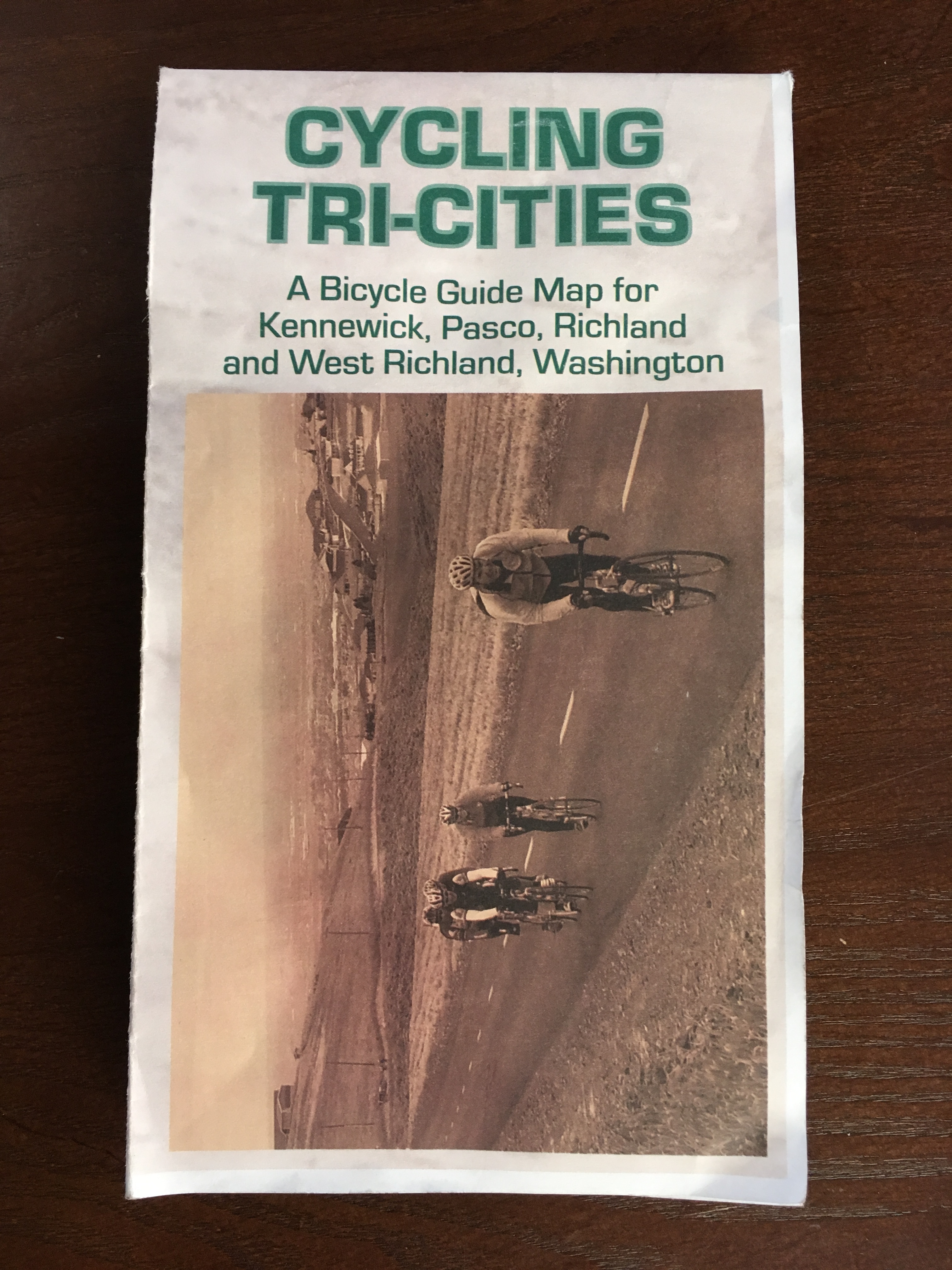
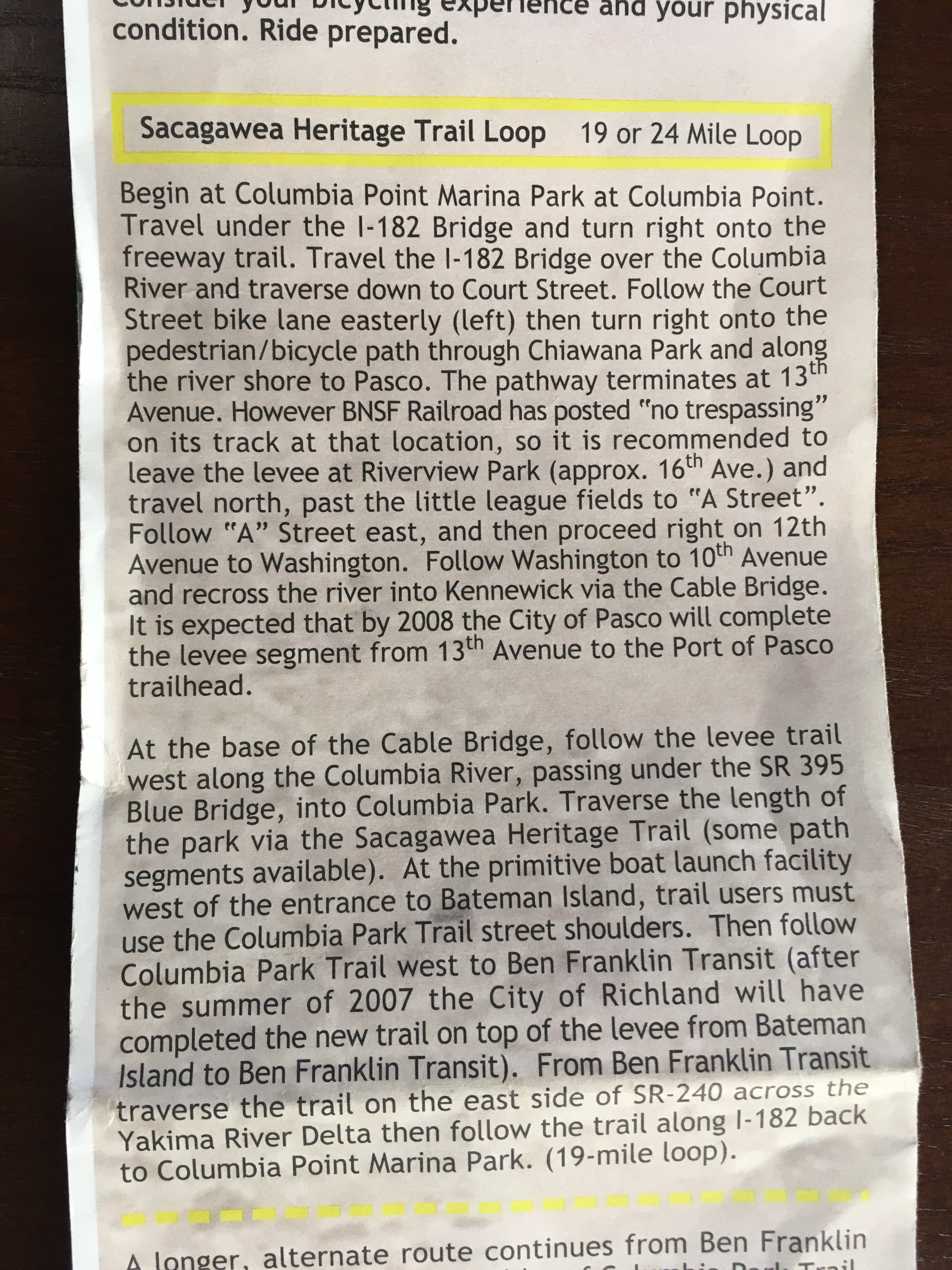
… and this is the map we used and some more info about the trail: